There were four infantry barracks with rears toward wall which divided town from fort.
The main entry to Fort Brown was where E Elizabeth St intersects with International Blvd today and becomes Universal Blvd today.
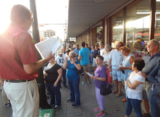
About fifty-four attendees sat for a brief overview of what has become Brownsville's greatest and most controversial topic which was seldom spoken about until a century after. James Mills gave a slide-show presentation to prepare us for the tour and answered questions afterward.,
It was a thrill to get to meet Harry Lembeck, author of Taking on Roosevelt: How One Senator Defied the President on Brownsville and Shook American Politics and James Leiker, author of Racial Borders: Black Soldiers Along the Rio Grande.
The tour made its way down Washington St toward Market Square with Mr. Mills pointing out locations where several details of incident were recorded and are now parts of the mystery of the raid.
Market Square was where our City Police department was in 1906.
"Several ear-witness say they heard shots fired by black soldiers right over there"
On E Elizabeth St was where several bars and saloons were located. Weller's Saloon allowed soldiers to drink in an area at the back of the saloon. Other saloons did not welcome black soldiers.
Here's a view from 1906 of E Elizabeth St.
This is another view of E Elizabeth taken nearly a decade later.
Lieutenant Dominguez was shot in the arm around the corner from this location where the Miller Hotel once stood.
That's the Miller Hotel as it was on the corner of E Elizabeth and 13th St.
This spot was once 15th St between E Elizabeth and Washington St where a house owned by the Cowan family was shot into not long after a children's party had ended.
That might be the Cowan house that was shot into on the left which standing on 15th St which is now a paseo after the street was closed and paved for pedestrian traffic.Another view looking down Cown Alley with house on right. Streets were numbered or had American presidents named after them while some alleys were named families whose homes did not face main streets downtown.
At Jefferson and International we got another perspective of the close distance from town to fort.
Here is the vantage point 110 years before.
E Elizabeth Street with Miller Hotel on left. The main entry gate to Fort Brown in distance.


No comments:
Post a Comment